
Walk an Allen County Street
Begin with one complete address, not a person's name. The owner shown on an assessment card may not live there, and a voter record is not a household roster. The useful result comes from joining address-based sources while preserving each source date. This Allen County street directory workflow moves from a mapped parcel to the legal record and then to dated evidence about people.
- Enter the address in the county property-card search. Use a short form if the full address fails, because the Assessor advises that less-specific address searches often work better.
- Open the same place in General iMap or COMPS. Confirm the parcel boundary, PIN, property address, and nearby lots before treating a name as tied to the right land.
- Read the current owner label and sales data, then move to the Recorder index. The deed, not the map label, documents a transfer.
- Use Indiana Voters only to check a known person's own registration details. The public form requires first name, last name, date of birth, and county, so it cannot produce a street roster.
- For an older household, compare the address with dated directories, newspapers, maps, or census material at the Allen County Public Library Genealogy Center.
The parcel PIN is the best join when spelling, street suffixes, or mailing labels vary. A PIN identifies the tax parcel and can connect assessor, GIS, and recorded-instrument work without assuming that two similar names refer to one person.
Allen County Address Search Fields
The COMPS parcel and sales search is the most detailed starting point for a street-by-street scan. Basic Search accepts text, while Advanced Search exposes fields that can narrow a block, class, sale period, or price range. Dynamic class choices may change after the user interacts with the tool, so the table lists only controls documented by Allen County research.
| Field | Search use | Format note |
|---|---|---|
| PIN | One parcel | Use the county parcel number |
| Address | House number or street | Try fewer terms when no match appears |
| Neighborhood Code | Assessment neighborhood | Not the same as a civic association |
| Class Code / Group / Class | Property category | Options load in the live interface |
| Buyer / Seller | Recorded sales parties | Pair a name with a parcel or date |
| From / To Date and Price | Sales range | “Valid Sales” can narrow results |
The county notes that property cards with transfer or value changes update monthly. COMPS may therefore show fresher or richer map context than a saved card, but neither is proof that the owner occupies the site.
The official property-card instructions show the county search route in practice.
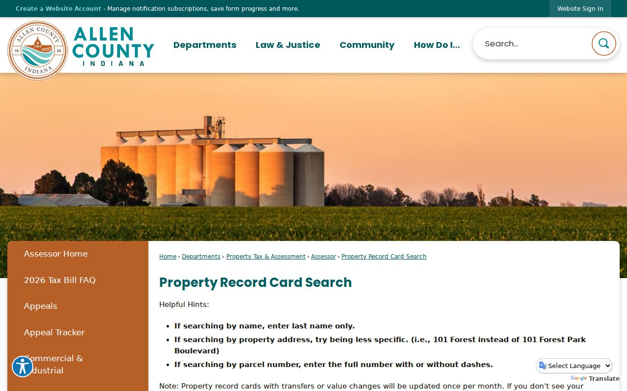
The captured page confirms the official address, name, and parcel-number path readers can use before opening the map.
Map Allen County Street Parcels
Allen County General iMap searches Address, Parcels, Townships, Centerlines, and Subdivisions. Parcel configuration includes OwnerofRecord, PropertyAddress1, and PIN. Turn on only the layers needed for the question: parcel lines for adjoining lots, subdivisions for plat context, incorporated areas for the proper custodian, and historic districts or flood plain as leads to a separate legal record.
Map boundaries and labels are approximate. They help select the right parcel, but the recorded plat and deed control the legal description. An Allen County by-address search should also keep a situs address apart from a mailing address. The first locates the property; the second is where the tax office sends correspondence and may belong elsewhere.
- Parcel
- A mapped unit of land assigned its own county identification number.
- Situs address
- The street location of the parcel, which may differ from the owner's mailing address.
- Plat
- A recorded map that lays out lots, streets, easements, or a subdivision.
- Criss-cross directory
- A historical directory arranged by address or street instead of only by surname.
The official COMPS viewer also demonstrates how Allen County joins map and assessment work.
The image belongs beside the field table because the live map is where a reader sees how address results relate to neighboring parcels.
Allen County Records by Street
No single Allen County by-street source contains every person associated with each address. Each official source answers a narrower question, and the source date matters. Use the parcel number to bridge property and deed systems, then add historical or permit evidence only when it fits the place and period.
| Address record | Official keeper | Useful result | Access channel |
|---|---|---|---|
| Property card | Allen County Assessor | Owner label, situs, mailing address, PIN, values, sales | Online, Suite 415, phone, email, APRA |
| Parcel and place layers | Allen County GIS | Lot, street, subdivision, township, districts | General iMap and COMPS |
| Deeds, plats, covenants | Allen County Recorder | Named parties, dates, document and legal description | Free data, paid images, office, certified copy |
| Permits or code cases | Fort Wayne or county planning | Address-linked project or case material | Accela, 311, city or county request |
| Historical address sources | ACPL, ACGSI, History Center | Dated occupants, street forms, maps and local context | Online indexes, library, microfilm, staff help |
The Election Division does not offer a public by-street list through Indiana Voters. Its individual form verifies a known voter's status with name, birth date, and county. Broader voter-file access is controlled by requester category and subscription rules, and Safe at Home records receive confidential treatment.
Allen County Street Number Logic
Fort Wayne's address system is tied to the rivers and Calhoun Street. Current city code section 99.111 describes numbers increasing by one hundred per block. A 1913-14 handbook at the Library of Congress also uses old descriptions such as squares east or south. That pattern helps translate an older location, but it does not replace a dated directory or map.
This geography is unusually useful when searching Allen County by street. It explains why two addresses that look close in modern form may have been described in a very different way in an early source. First preserve the wording exactly. Then compare the directory year, street guide, and map before converting it.
Note: A directional prefix, suffix, or old “squares” description can be evidence, not a typo, when the source predates modern address forms.
Allen County's 1902 Address Trap
Fort Wayne changed street numbers in 1902. A person can appear to move even when the building stayed put. The sound method is to place the old number in a directory from before the change, locate the same street in a later volume, and compare both with a period map. Do not force the old number into a modern parcel search and accept the first result.
Sanborn fire-insurance maps add a building snapshot. Fort Wayne coverage includes 1890, 1902, and a 1918-1951 run. Sheets may show footprints, construction material, height, use, sidewalks, and the number used when the map was made. They document a place at a date, not its occupants. Dated directory entries or newspapers supply the person link.
The full historical shelf belongs in the Allen County city directory collection, while this by-address use focuses on resolving the same street through a numbering change.
Deeds Along Allen County Streets
Once the correct PIN and owner label are known, the Allen County Recorder search options provide the legal-document step. Free Data Search returns index data but no images. Online records generally begin January 1, 1970, with some older material. Tapestry supports name searches back to 1950, while address or PIN searching can be unreliable before 1995. Laredo serves regular users, and the office supplies in-person research and certified copies.
A name hit is only an index lead. Read the instrument image or obtain a certified copy when the document itself matters. The Recorder also cautions that some court judgments, state tax liens, and bankruptcies may not be filed in this office.
The Recorder's documented search page shows the distinction between free data and image routes.
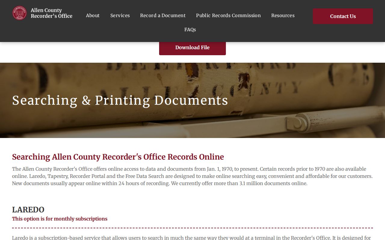
The screenshot reinforces why an index result, a document image, and a certified copy should not be treated as the same kind of proof.
Allen County Plats and Covenants
The Recorder's Neighborhood Resource Center searches recorded subdivision and condominium plats, covenants, and restrictions. Its keyword advice is simple: less is more. Start with a short part of the subdivision name, then use the GIS subdivision locator and parcel PIN to avoid confusing places with similar names.
The free covenant index contains more than 7,500 documents, but it does not include association bylaws. Hard copies are available at the Recorder's office. A recorded restriction may explain the legal setting of a block, yet it does not prove who currently belongs to an association or lives in a home.
Useful join. Record the document number, recording date, subdivision section, lot, and PIN together so the map and instrument remain linked.
Allen County Addresses Beyond Parcels
Fort Wayne code cases can be searched in Accela by Case Number or Address. City-limit planning, building, certificate, and police records go to the city, including its separate NextRequest portal. Other county records use the county department, form, or Allen County public-record request. The request should identify the address, parcel or case number, record type, and a tight date range.
Indiana's Access to Public Records Act, IC 5-14-3, governs the request route. The response clock is an acknowledgment rule, not a production deadline: generally one business day for an in-person written request and seven calendar days for mail, fax, or email. A focused request can be approved, estimated, partly granted, or denied under an applicable rule.
The correct office depends on the mapped boundary, not just the mailing city. A Fort Wayne label can appear outside current city limits, while an Allen County parcel may sit within another incorporated place or an unincorporated township. Check the GIS incorporated-area and township layers before sending a permit or code request. USPS can standardize the mailing form, but it does not confirm a person or business at that address. This distinction keeps the by-address search tied to the actual custodian and avoids a false no-record answer from the wrong agency.
Note: If a portal has no result, contact the named custodian before concluding that no address record exists.
Limits of an Allen Street Directory
Assessment records identify an owner of record, not all occupants. A mailing address can belong to a management office or another location. GIS labels are approximate, deeds establish transfers rather than day-to-day residence, and an old directory only supports the year printed. Indiana Voters requires known personal details and is not a public block list. Protected addresses and confidential court or vital records stay outside an ordinary street search.
Commercial search summaries also blend dates and sources without showing the underlying record. An official Allen County by-street method is slower but easier to audit: save the parcel or document identifier, open the original record when allowed, and note when it was checked. If two sources disagree, the dated custodian record should be described on its own terms rather than merged into a guessed household.
Use Allen County address records for family history, parcel research, neighborhood curiosity, estate work, or checking a property trail. Quote the source and date. Avoid republishing birth dates, signatures, account data, protected addresses, or sensitive document images when a citation will do.
Lawful use. Allen County address records may be used for legitimate personal research, never to stalk, threaten, harass, or harm a person.