
Look Up Allen County Neighbors
Each official source describes a different part of an Allen County block. County GIS identifies parcels and map layers. The Assessor supplies dated owner-of-record and property-card fields. Recorded plats define lots and subdivision sections. Neighborhood networks identify groups, not all people who live nearby. A historical directory may show who was listed at an address years ago. Read together, these sources can place an address in its civic and property setting without claiming a complete household roster.
| Source | What It Shows About a Block | Access |
|---|---|---|
| Allen County iMap | Parcel lines, addresses, subdivision, township, neighborhood, and incorporated-area context | Free online viewer |
| Assessor property card | Owner label, situs and mailing address, PIN, values, transfers, and parcel traits | Online or Assessor office |
| Recorder plats and covenants | Recorded lot, section, restriction, and subdivision documents | Free index; images or office copies |
| ACNF and city registration | Association names, meetings, and current organizational contacts | County page or city list |
| ACPL and ACGSI directories | Dated neighborhood, city, telephone, and address listings | Online leads and repository access |
An owner name is not an occupant finding. The mailing address may differ from the property address, and a recent sale may not reach the monthly card update at once. Renters and other household members are usually absent. State voter status also cannot fill that gap because the public Indiana Voters form requires a name, birth date, and county rather than accepting a block or ZIP search.
Choose the source by question. Use GIS to identify the lots around one parcel. Use the Assessor to check each parcel's public card. Use the Recorder for a deed, plat, or restriction. Contact a neighborhood group only for its public meetings or organization records. This division prevents a common mistake: combining a property owner, a registered group contact, and a historical directory listing into one person without proof that the records describe the same date or role.
Map an Allen County Block
The Allen County General Viewer supports searches for parcels, addresses, townships, streets, and subdivisions. Useful layers include property lines, address points, incorporated areas, neighborhood associations, historic districts, schools, flood plain, and zoning. The viewer also offers Identify, measurement, results, print, and share controls. Its data is approximate. Confirm lot scope in a recorded plat when a boundary matters.
- Search the subject address or PIN. Save its GIS_ID, legal description, subdivision, township, municipality, and map date.
- Turn on parcel lines and click the lots that share an edge with the subject parcel. Record IDs before names.
- Open each adjacent property card. Compare situs, mailing address, owner label, subdivision, lot, and legal description.
- Check the recorded plat and covenant for the right section. Adjacency on a map is not a survey finding.
This process keeps the inquiry on the immediate block. For a whole road, use the Allen County street directory and its longer address-record chain.
Keep a compact neighboring-parcel inventory as you work. Note the subject and adjacent PINs or GIS_IDs, map layer and date, situs addresses, owner labels, subdivision section and lot, municipality or township, and the recorded plat number. That evidence is enough to retrace the map decision. It also exposes possible errors, such as two similar subdivision names or a lot shown in a later section with different restrictions.
Allen County Subdivision Records
The Recorder's Neighborhood Resource Center covenant search is a free gateway to more than 7,500 recorded plats, covenants, and restrictions. Search a short part of the subdivision name because the office advises that less is more. The separate subdivision locator can turn an address into a subdivision and section. Hard copies are available from the Recorder when the online image or index is not enough.
The recorded covenant interface used for Allen County block research appears below:
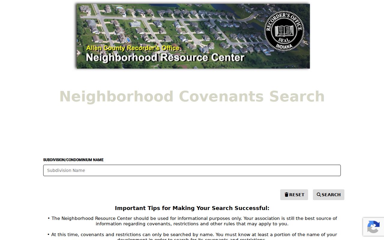
A covenant is a recorded restriction tied to defined land. It is not an association bylaw, membership list, or proof that a current owner belongs to a group. Cite the document number, date, subdivision section, and lot scope before drawing a conclusion.
Allen County Neighbor Networks
The Allen County Neighborhoods Forum serves incorporated and unincorporated areas. It began with county help in 2005, but it is not a county department. The group changed its name from Allen County Neighborhoods Association to ACNF on July 24, 2025. Older minutes may still use ACNA. Meetings are quarterly on the fourth Thursday at Citizens Square, and the county page posts agendas, minutes, and video links when available.
The county forum page is the official source for the current name and meeting route:
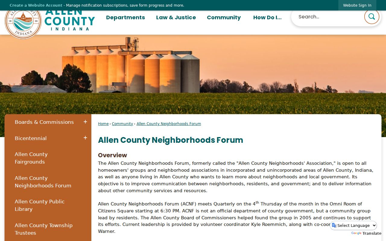
The forum estimates more than 700 neighborhoods countywide, while Fort Wayne reports more than 400 city neighborhoods and associations. Those figures measure different networks. Neither is a count of households.
The county page lists 2026 meetings for January 22, April 23, July 23, and October 29, usually ending near 8:15 p.m. Agendas, minutes, and Access Fort Wayne videos can document a public issue or association appearance. County PIO may check recent attendees or add a person to the email list, but staff do not claim to hold a complete, current roster. Date any meeting reference and use the name printed in that specific record.
Allen County Neighborhood Contacts
Use the correct network for the address. The city registration list is specific to Fort Wayne and was updated in July 2026. It can include association name, quadrant, officers, meeting place, contact address, phone, and email. Those details change, so link to the current list instead of copying personal contact data into a lasting note. County staff say ACNF does not maintain a complete current master roster because groups and contacts change.
Countywide ACNF
Open to Allen County residents and neighborhood groups. County PIO contact: Emily Almodovar, 260-449-7671. Meetings are at Citizens Square.
Fort Wayne Registration
City neighborhood registration, 260-427-8311, Citizens Square, Suite 425. Registration and updates have no fee.
Recorded Subdivision
Allen County Recorder, 1 E. Main St., Room 100, 260-449-7165. Ask for a plat, covenant, or restriction by document or subdivision section.
Examples in the city list include Abbey Place, Beacon Woods, Bloomingdale, Historic Southwood Park, North Anthony, and Northside. A listed group name is an organizational lead, not proof of any person's current office or membership.
Trace Allen County Neighbor History
Some Allen County households are easier to place in dated print than in a current online system. ACGSI lists neighborhood directories for Covington Creek, Georgetown Place, Indian Village, Lakes of Buckingham, Lincolnshire, Miller Ridge, North Pointe Woods, and Pine Valley, along with broader neighborhood and telephone directories. ACPL holds local city directories, maps, newspapers, and address indexes. These collections show a past listing, not current status.
The History Center digital collections add maps, photographs, documents, and manuscripts to that record trail.
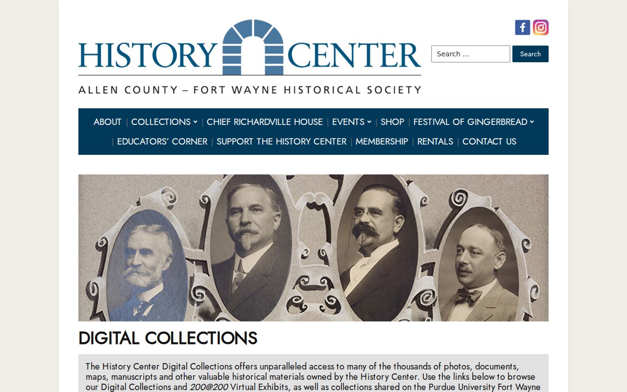
The History Center holds about 20,000 photographs and thousands of linear feet of archives. A dated map or image can explain an old neighborhood name, but it should not be used to infer a present resident or association member.
Compare Allen County Neighbor Sources
Official records and commercial neighbor tools have different incentives and proof value. An official parcel card identifies its custodian, fields, and date. A commercial result may merge names, old addresses, and unrelated people without showing the source. For civic curiosity, property questions, or a safe introduction to the block, start with the narrow official record that answers the question.
| Source type | Best use | Main caution |
|---|---|---|
| County GIS and Assessor | Parcels, owner labels, and place layers | Ownership is not occupancy |
| Recorder and association lists | Lot restrictions and group identity | Covenants are not bylaws; contacts age |
| Commercial neighbor tools | Possible lead only | Source dates and identity matching may be unclear |
If an official record appears wrong, contact its custodian with the parcel, document, or filing number and proof. Do not contact an unrelated person or publish a disputed identity.
City code history is another narrow official route. Fort Wayne's Accela General Search accepts an address or case number, and 311 or Code Compliance can route a defined request. A case record may contain an allegation, inspection, status, and dates. Report those fields as the record states them. Do not turn a pending or closed code entry into a claim about a nearby person, and do not assume the named contact is the current occupant.
Protect Allen County Block Privacy
Public access does not erase privacy. Indiana voter files have access classes and ordinary copies can omit or redact sensitive fields. The public status portal is not an address directory. Court records can be sealed, confidential, juvenile, protected, or affected by expungement. Indiana's Address Confidentiality Program supplies qualifying survivors and household members with a substitute address and confidential election treatment. Never try to reverse-engineer a protected location from parcel, court, directory, or block clues.
Lawful use. Research nearby Allen County parcels for a defined, lawful need. Never use public records to watch, threaten, harass, intimidate, or expose a protected person.
Keep only the minimum facts needed: source, access date, parcel or document number, and a short field description. Do not republish birth dates, signatures, phone numbers, private emails, protected addresses, or personal details from association lists. An absent result may reflect a move, a stale card, a different owner, or a privacy rule. It is not proof that a person is hiding or that a record is wrong.